
Zhanjiang Navigation Aid Center promotes the implementation of multifunctional buoy collaboration.
Recently, the Zhanjiang Navigation Mark Department of the South China Sea Navigation Support Center has closely adhered to the deployment requirements for accelerating the construction of a modern navigation support system. It has anchored the construction goal of a "comprehensive multi-source maritime situational awareness network," focusing on the three-year action plan tasks for accelerating the construction of a modern navigation support system in Guangdong waters, and has promoted the implementation of multifunctional navigation mark open collaboration.
Clarify Demand Orientation and Build the "1+N" Model
Identify the "demand list." The Zhanjiang Navigation Mark Department oversees a jurisdiction with a long coastline, vast sea area, and diverse types of maritime users. The department has proactively conducted user demand research, reaching cooperation intentions with seven organizations. The scope of intentions covers multiple fields such as scientific research, meteorological observation, marine monitoring, and ecological protection. It has also categorized and established demand archives, dynamically updating the demand list and intention ledger, laying the foundation for subsequent precise matching and project planning.
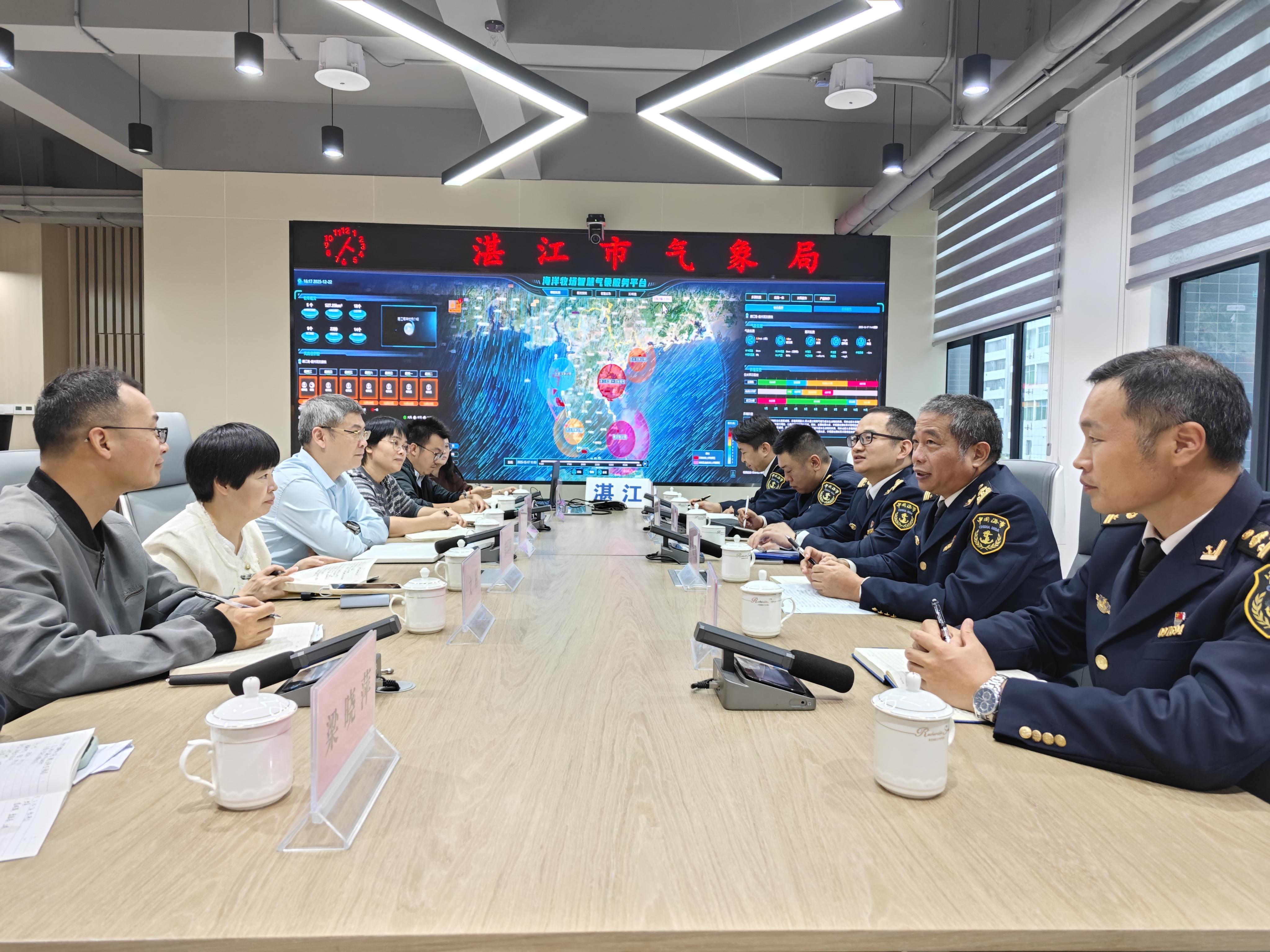
Customize the "1+N" exclusive plan. The Zhanjiang Navigation Mark Department has established regular data-sharing collaborations with meteorology, marine, piloting, and academic institutions to enhance maritime situational awareness in its jurisdiction. Based on the business characteristics and technical needs of various parties, it provides precise services and tailors personalized cooperation plans. At the same time, it fully leverages the platform advantages of existing navigation mark facilities, guiding relevant parties to install sensor equipment according to their needs, achieving "one mark for multiple uses, co-construction and sharing," and improving the operational efficiency and sustainability of the facilities.
Implement Open Collaboration to Serve Diverse Maritime Application Scenarios
The Zhanjiang Navigation Mark Department insists on promoting the implementation of cooperation intentions through specific projects, relying on key projects to drive the in-depth and practical development of multifunctional navigation mark open collaboration.
Serve passenger and cargo transportation in the Qiongzhou Strait. It continuously provides multifunctional navigation mark ocean current measurement data services at the Beigang of the Yuehai Railway Ferry, offering precise hydrological support for the safety and efficiency of passenger and cargo transportation in the strait.
Ensure the navigation safety of coastal port entry channels. In the Maoming Port Bohe New Port Area, multifunctional navigation marks have been installed in the entry channel to promptly monitor hydrological information in narrow channels, meeting maritime supervision and port piloting needs and ensuring the safe and convenient navigation of large vessels.
Support education, research, and meteorological observation. Along the coast of the Leizhou Peninsula, multifunctional navigation mark renovation sites have been identified to serve marine meteorological research by universities and the construction of Guangdong's "Safe Ocean" meteorological support project. Cooperation has been carried out in the fields of wind and current data collection and sharing, large model processing and analysis, and meteorological service support.
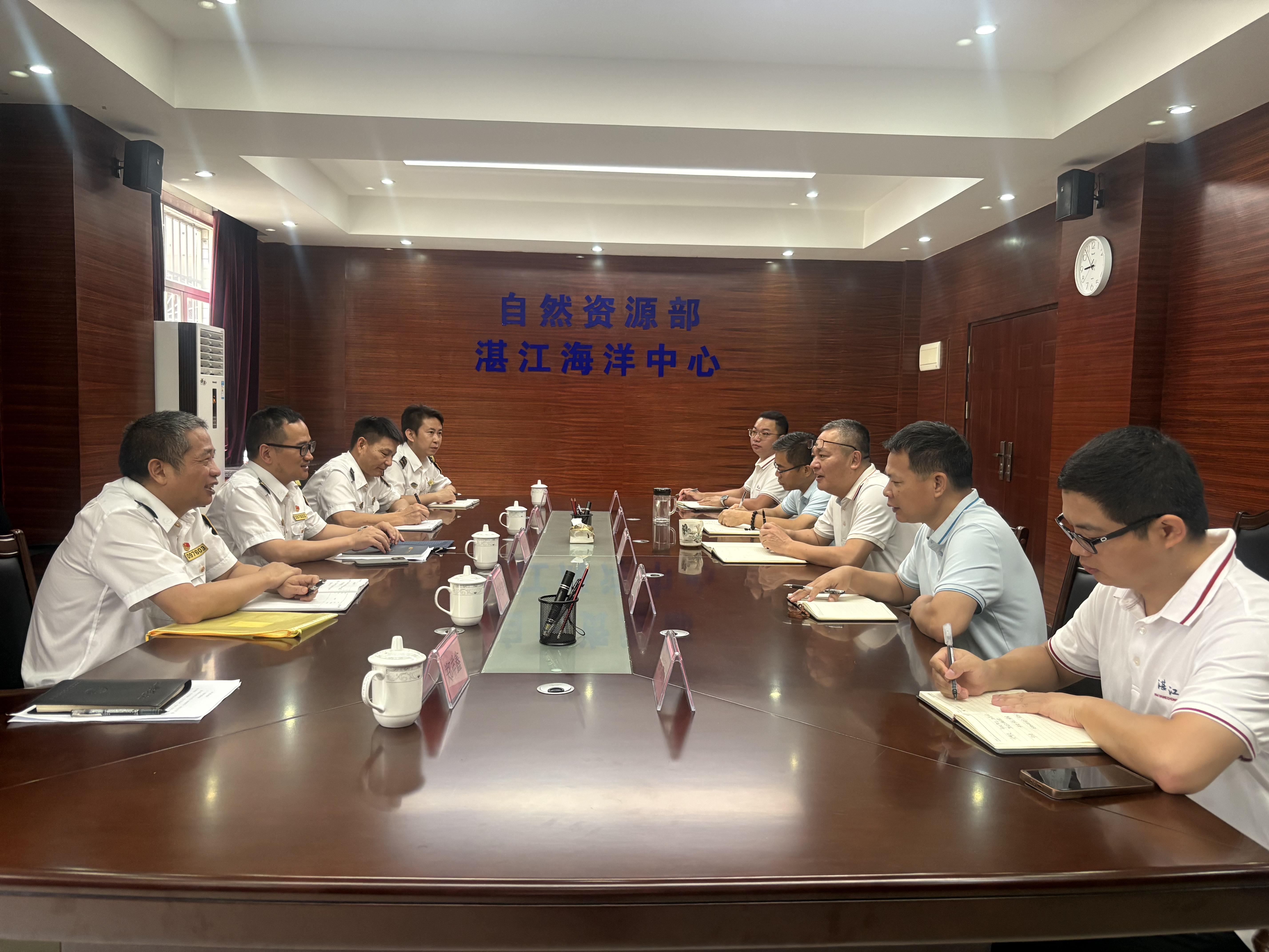
Monitor coastal erosion. In collaboration with natural resource management departments, existing navigation mark layouts have been utilized to successfully install coastal erosion observation equipment on light piles along the coasts of Zhanjiang and Maoming, providing technical support for dynamic shoreline monitoring and protection.
Serve diverse maritime application scenarios. In collaboration with Guangdong Blue Whale Marine Technology Co., Ltd., Baosteel Zhanjiang Iron & Steel Co., Ltd., and others, multifunctional navigation mark construction has been carried out in the western Guangdong sea area. These marks are equipped with various sensors for visibility, meteorology, water quality, and ocean currents, while simultaneously planning services for ecological environment monitoring, continuously enhancing marine environmental awareness capabilities.
-
Yantai Port optimizes services to efficiently respond to passenger flow peak during National Day holiday.5038
-
Smart robots start working at Dongqian Lake during the National Day holiday.3906
-
The new outbound channel for high-end heavy industrial equipment along the Yangtze River is rapidly taking shape.4201
-
Captain Wang Sanhan of the "Haixun 22" ship: My National Day status — Online3463
-
Yantai Port launches a new "Penglai-Indonesia" bulk cargo liner route4266